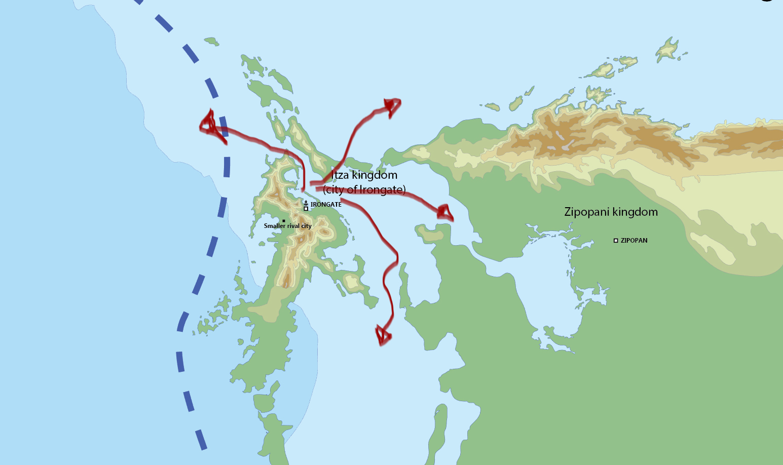
Now that the location of the city on the large map is in place and as a result, the existing city map (i.e., the Turtletown neighborhood) has undergone a 180-degree rotation, it’s time to think about what neighborhoods exist in the city.
Based on the city’s history, we know that the city once had a powerful navy with which it controlled the surrounding seas, collected tribute from other kingdoms of Kali, and kept its empire together. This means that the city must have had a large military harbour, a complex where ships were built and repaired, an area where sailors lived, and a region for smiths, as all this needed various metal items – weapons, nails, tools, etc. After all, the city was famous for its iron brokering.
Today I am placing these areas schematically on the city map.

- Firstly, such an industry needs a river. The river must bring the raw wood to the city to build ships. The smiths can connect their mechanical hammers (yes, they were already present in ancient times, very common in large smithies in our world in the 16th century) to the river.
- Lumber mills and shipyards are likely to be more inland, as raw materials come from inland.
- The military harbour itself is probably closest to the sea.
- This implies that the area of the smiths is situated in the center. This makes sense as their products are needed by both the military harbour and the shipyards.
- As for, where the sailors and marines lived – we let it stay open for now. Somewhere near the military harbour.


